This route can be started either from the parking at Wasdale Head or from Seathwaite farm in Borrowdale.
Parking – Follow the signs and park at National Trust Lake Head car park (GR NY 182 074) – open 24 hours with limited toilet facilities available. There’s a charge for parking, with your fees contributing to the work of our National Trust upland rangers maintaining the main routes up Scafell Pike. Remember, noise travels far in our quiet valley, so please switch off engines overnight and keep noise to an absolute minimum to avoid disturbing visitors to the campsite.
In the Ranger’s opinion, this route is an interesting and challenging way to the top of Scafell Pike.
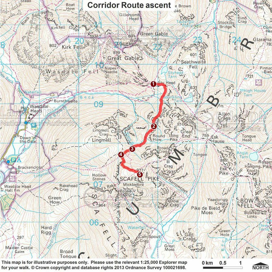
N.B. The route detail found in the Ranger’s tips begins from the stretcher box at the Styhead Tarn crossroads NY 21897 09502.
Ranger’s Tips
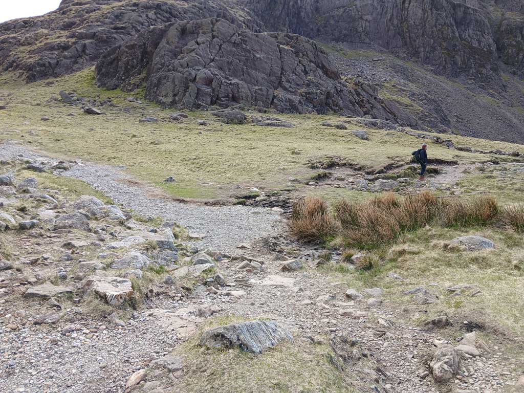
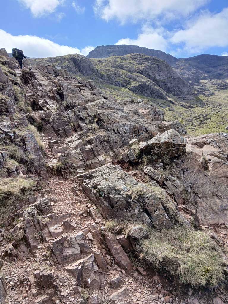
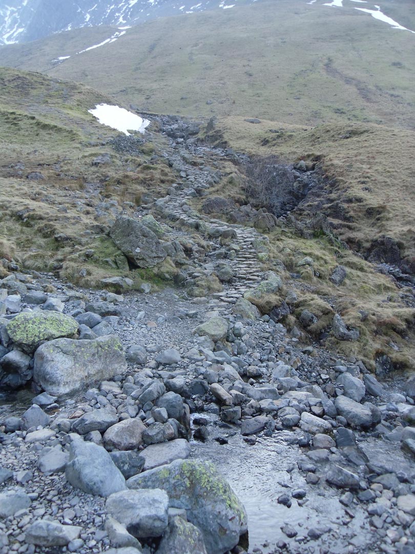
- From the stretcher box follow the track East for approximately 70m to stepping stones and a bedrock hillock. After approximately 350m on from the stretcher box, take the narrower path at a clear right turn to begin the Corridor route. The path here crosses a broken-down wall shortly after the junction and briefly descends before beginning the climb up to the summit. Continue along the path as it starts rising and crosses Skew Gill, cross the stone pitched ford on the Gill and ascend up the bedrock following the cairns. The Corridor route at this point keeps on climbing up to the south.
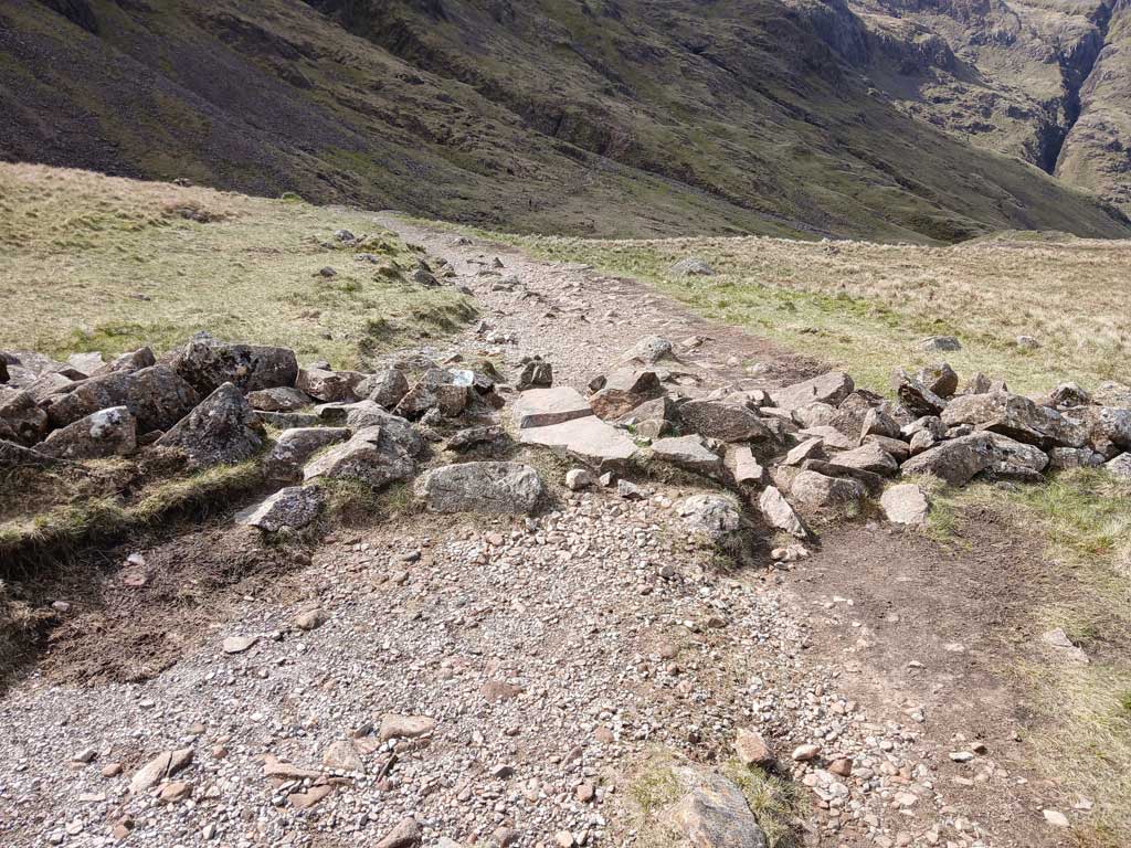
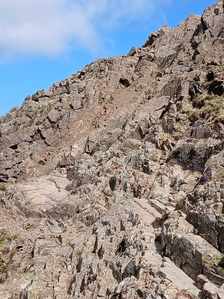
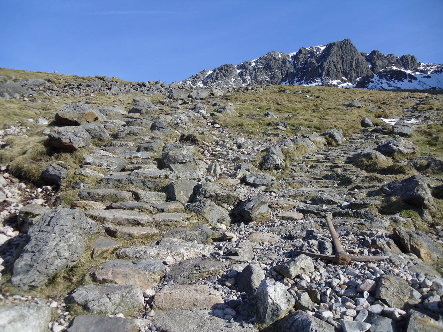
- At NY218 085 (604m above sea level) there is a significant bedrock step that you will need to climb down in order to keep on the Corridor route; this has plenty of hand and footholds so is relatively straightforward however, it can be difficult if you have brought a less agile dog with you. Be aware that there is no way of avoiding this obstacle and attempting to do so will lead you onto some steep, dangerous ground and will cause erosion. The bedrock step is the safest, easiest and only way both up and down this path. Continue ascending the path, being sure to avoid the left turn up a pitched path to Broad Crag col. This is a much steeper route to the summit and the pitched stone path soon turns to lose scree near the summit.
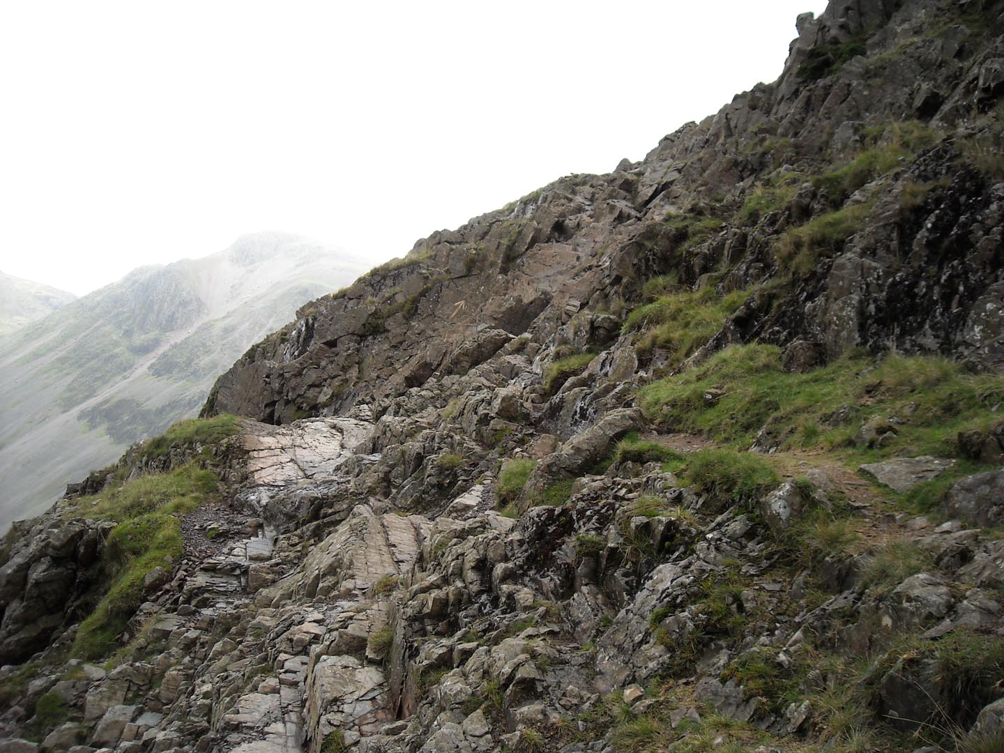
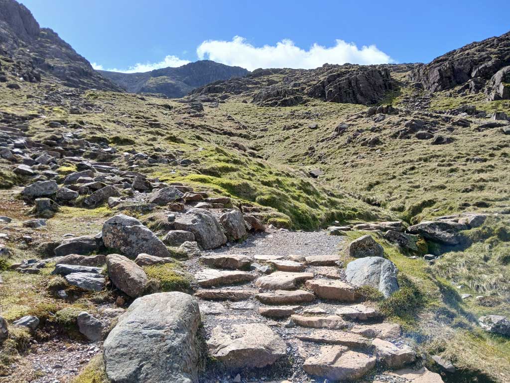
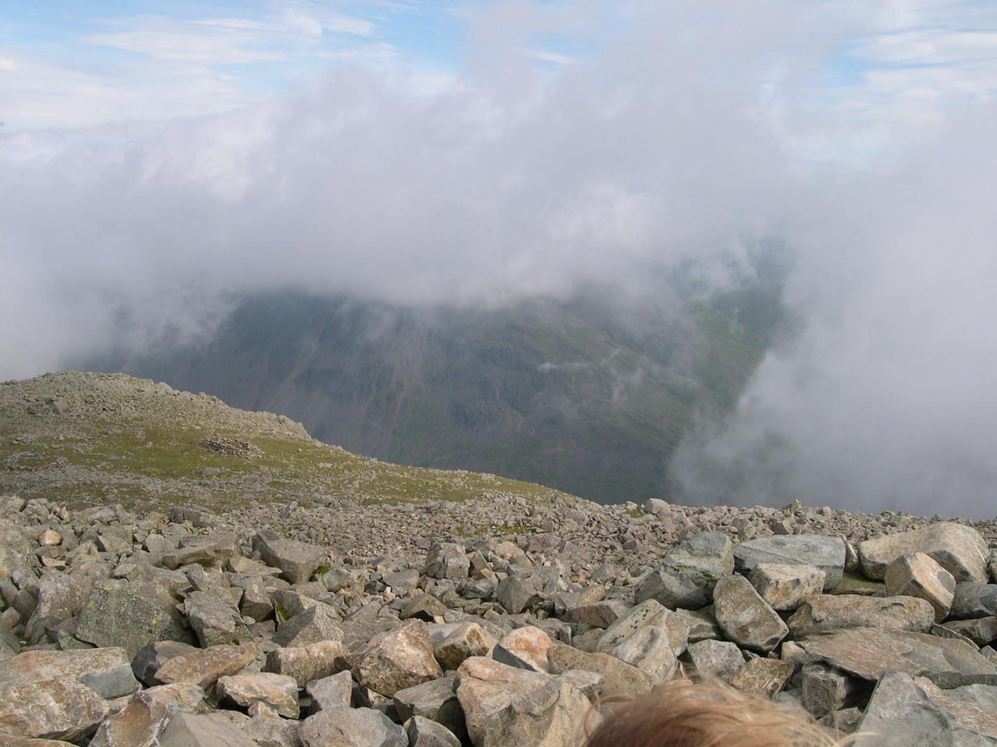
- 300 meters after the Broad Crag col junction, the Corridor route passes along the head of Piers Gill (a Wasdale mountain rescue team accident black spot) at NY 213 078 (704m above sea level.) A narrow track skirts the top of the Gill and continues onwards up to Lingmell col. It is important not to head down the Gill itself; this is a mistake that people have made, particularly when tired and in bad visibility during their descent down the Corridor route. Please be aware of this.
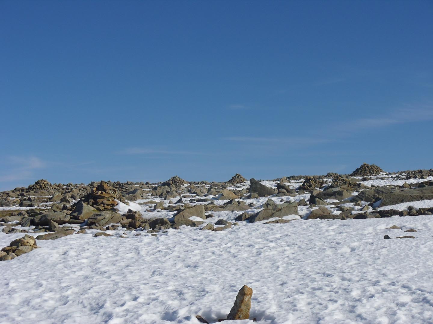
- Above Lingmell col there is a junction in the path at NY210 076 (777m above sea level). Make a careful mental note, or take your own photo, of what this junction looks like, as it is critical for your descent. To carry on up, you need to follow the wider, more obvious, rocky route that ascends to your left. From this point onwards the path to the summit of Scafell Pike becomes much more informal and stone scattered as it climbs towards the summit. There are some large stone cairns that shadow the path but beware, people sometimes build extra cairns for fun and these may not lead you in the right direction! We do our best to remove these but we can’t get up there every day, please don’t build any more. Eventually you will reach the large summit cairn at the top of Scafell Pike.
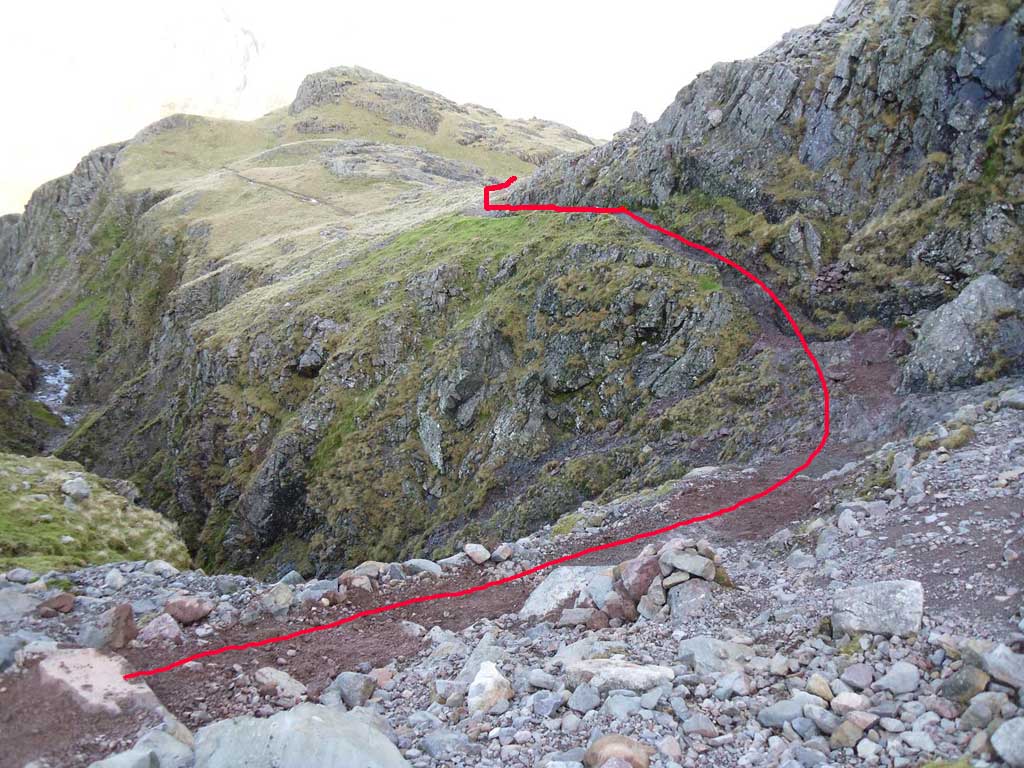
- To retrace your route back down the Corridor route to the stretcher box: The summit plateau of Scafell Pike can be challenging, especially in the mist, rain and wind that is the usual weather for here! It is very easy in the euphoria in reaching the top to forget which way you came up (again something the Rangers have done on occasion!) In poor visibility, to descend to Lingmell col and retrace your steps, take a bearing from next to the summit trig point of 310 degrees and walk for 100m. You will reach a cairn, then take a further bearing of 290 degress and follow the cairns in this direction (N.B. the path veers off this bearing after about 60m.) When you descend to the path junction above Lingmell col at NY210 076 (777m above sea level, see section 4) be particularly careful to take a right turn toward the North East; it is easy to miss this turn and if you carry on by accident you may end up on the steep ground above Piers Gill. Piers Gill is not a good place to be in or around. Be sure to follow the path around the top of Piers Gill when you get there (see photo); do not descend into the Gill. When you eventually reach the bedrock step further back down the path (see step 2), climb back up it, following the etched arrows and cairns – do not descend the path at Greta gill in an attempt to avoid the bedrock. This will lead you onto very tricky ground. From the stretcher box, enjoy the rest of your walk back to whichever valley head you started from.